Welcome to the UNAVCO Terrestrial Laser Scanning (TLS) Data Archive
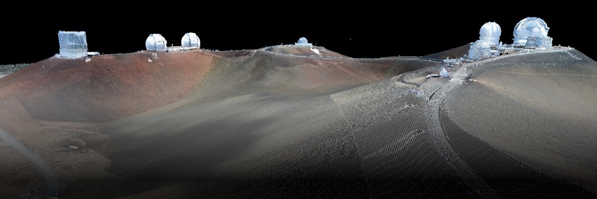
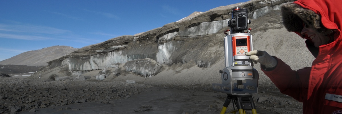
UNAVCO provides terrestrial laser scanning support (TLS) to NSF and other community researchers. The standard TLS data deliverable provided by UNAVCO is a merged, aligned, georeferenced point cloud dataset. The point cloud is the basis for additional processing and analysis such as surface modeling (e.g., the generation of digital elevation models) and change detection comparisons between repeat surveys. UNAVCO does not generate higher-level data products for PIs or students. In order to facilitate data processing and analysis by our community, UNAVCO maintains a software license server that enables community access to a variety of lidar and geospatial software packages.
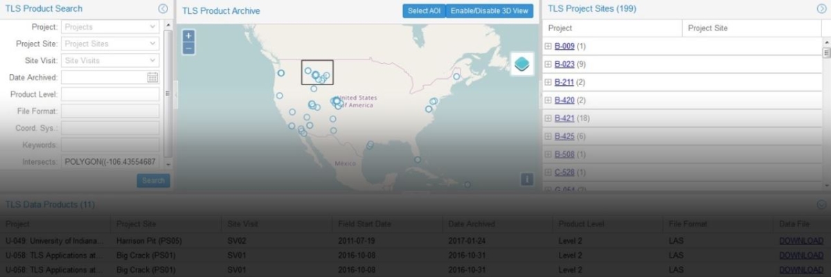
Consistent with UNAVCO's Data Policy, all TLS data collected with UNAVCO instruments must be made publicly available online. The UNAVCO TLS data archive provides access to raw (L0) TLS data, as well as project metadata, field photography, and merged, aligned, and georeferenced (L2) point cloud data. Visit our video and slideshow tutorials to learn where and how to locate data.
Please email archive-tls@unavco.org with questions or to share your feedback to help us improve this product.
A limited number of TLS datasets, some collected by UNAVCO, are also available at OpenTopography.


